Throughout the Autumn of 2023, it was unseasonably warm with North Texas experiencing major rain events, almost wiping out drought from the region. As Texas enters winter, the extreme weather is expected to continue. In June 2023, the National Oceanic and Atmospheric Administration issued a warning for a moderate to strong El Niño, affecting the global climate and weather patterns, including here in North Texas.
“El Niño’s impacts on North Texas weather are primarily confined to the cold season,” Daniel Huckaby, a meteorologist with the National Weather Service Fort Worth office (NWS) said.
An El Niño is a global climate pattern where Pacific waters along the equator are warmed and cooled, affecting the world climate and weather patterns. When waters in the Eastern Pacific are cool and water in the Western Pacific are warm, it is a La Niña phase. When waters in the Eastern Pacific are warm and water in the Western Pacific are cool, it is an El Niño phase. During El Niño, there is an increase in precipitation and cloud coverage in North Texas. Due to this daytime temperatures are reduced, resulting in below-average temperatures.
“Precipitation so far during the cold season has been uneven across the region, but North Central Texas has received above normal precipitation since October,” Huckaby said.
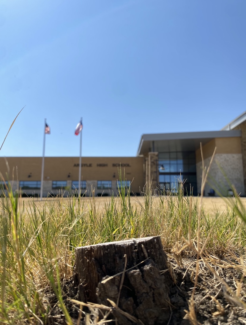
During the height of the heatwave and drought in North Texas, Argyle and surrounding areas were in category five, exponential drought. North Texas monthly average from Oct. to Dec. is 10.11 inches of rain, but as of Jan. 12, the area has been downgraded to no drought designation with an extremely high recorded rainfall of 13.44 inches. This was a five-category improvement in drought conditions in under three months due to El Niño. Even as North Texas had above-average rainfall, it also experienced above-average temperatures, with El Niño and drought conditions driving a warm Autumn.
“El Niño tends to reduce the potential for arctic intrusions,” Huckaby said.
A polar vortex is a core of cold air over the arctic regions and is regulated by the jet stream. When the jet stream weakens this allows an arctic intrusion down south bringing thunderstorms, as a cold front moves through a warm area and arctic temperatures. This means that the chance of an arctic intrusion, which normally causes North Texas to have extreme winter weather, is reduced during an El Niño year.
“The causal mechanisms that encouraged our impending arctic outbreak were hinted at as far back as Christmas,” Huckaby said.
Even though North Texas is in an El Niño year, that does not mean North Texas will not experience a polar vortex. Over Martin Luther King Jr. weekend, a powerful polar vortex will be descending into the central and southern United States. This artic intrusion will bring 20 degrees or less day temperatures to much of the country. Currently, NWS meteorologists are presenting uncertain forecasts about if North Texas will either get snowfall North of Interstate 20 and a wintry mix, or there will be no precipitation at all.
In preparation for extreme cold across the state, and a possible winter storm the Electric Reliability Council of Texas (ERCOT), ERCOT issued a weather watch from Jan.14 to 17. In the past, ERCOT has come under scrutiny for not having the Texas grid winterized for extreme cold temperatures, such as the rolling blackouts during the Feb. 2021 winter storm, where 246 died. ERCOT estimates that the grid will stay stable, but there is a potential for low electrical reserves. As of Jan. 13, ERCOT is not asking Texans to conserve energy.
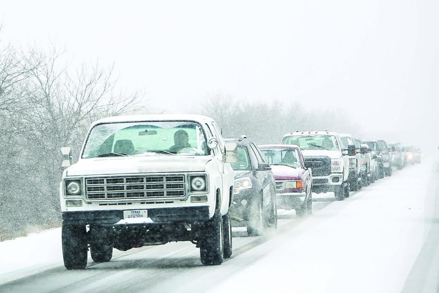
“With temperatures remaining below freezing throughout [Monday], even a little wintry precipitation could result in impacts to travel,” Huckaby said.
If traveling is a must, it is recommended that you drive with a full tank of gas, and bring along warm clothing and a blanket. When traveling, reduce your speed when on icy roads and put distance between you and other drivers. Avoid sudden movements and if control is lost of your vehicle, resist the urge to jerk the steering wheel; instead, gently steer in the direction of the skid until you can regain control.
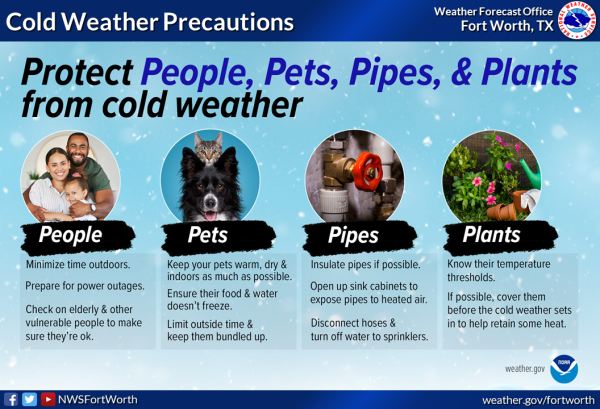
If you can, preparing beforehand and staying home is the best thing to do during ice and snow storms. To prepare, remember the four P’s: people, pets, pipes, and plants. Make sure all family, friends, and neighbors are safe, make sure all pets are warm and fed, check all pipes and keep them warm, make sure all plants are covered if it is not cold tolerant and pots are brought inside. For more information, you can go to the National Weather Service website for more safety tips.


