
Microbursts (Weather Weekly)
©The Talon News | NOAA
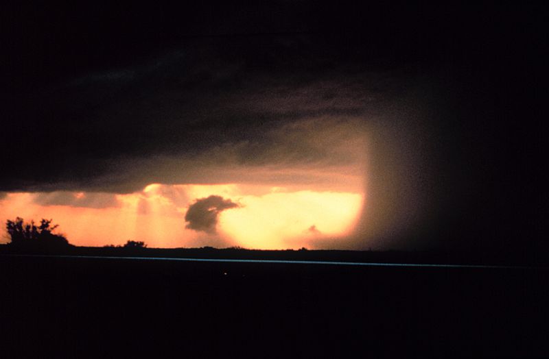
Microburst Near Wichita Falls, Texas. (Photo by: NOAA under the public domain)
Time to talk about microbursts and what they are. Let’s start off with the what.
A microburst is a weather phenomenon where a storm that has a strong updraft suspends hail and water droplets high in the core of the storm. When the updraft weakens, it can no longer hold the core in place and the core begins to sink to the ground. Once it hits the ground, it spreads out in different directions. A microburst is less than 2.5 miles in diameter.
There are two types of microbursts: wet and dry. Wet microbursts tend to occur in the southeast during the summer and are accompanied by high amounts of precipitation. Dry microbursts, on the other hand, are accompanied by little to no precipitation and are just wind.
So what makes microbursts so dangerous? Microbursts can have winds up to 100 MPH, equivalent to an EF-1 tornado. When winds are that high, they can cause damage to anything inside the microburst including trees, homes, cars, and planes. This is why Severe Thunderstorm Warnings are just as serious as Tornado Warnings. So remember to stay weather aware and monitor your local forecast!
Your donation will support the student journalists of Argyle High School - TX. Your contribution will allow us to purchase equipment and cover our annual website hosting costs.